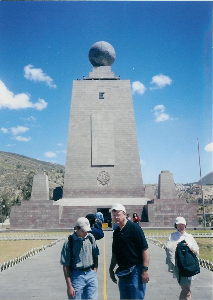
I start South America in Quito, Equador
The yellow line is the equator about 5 miles north of Quito

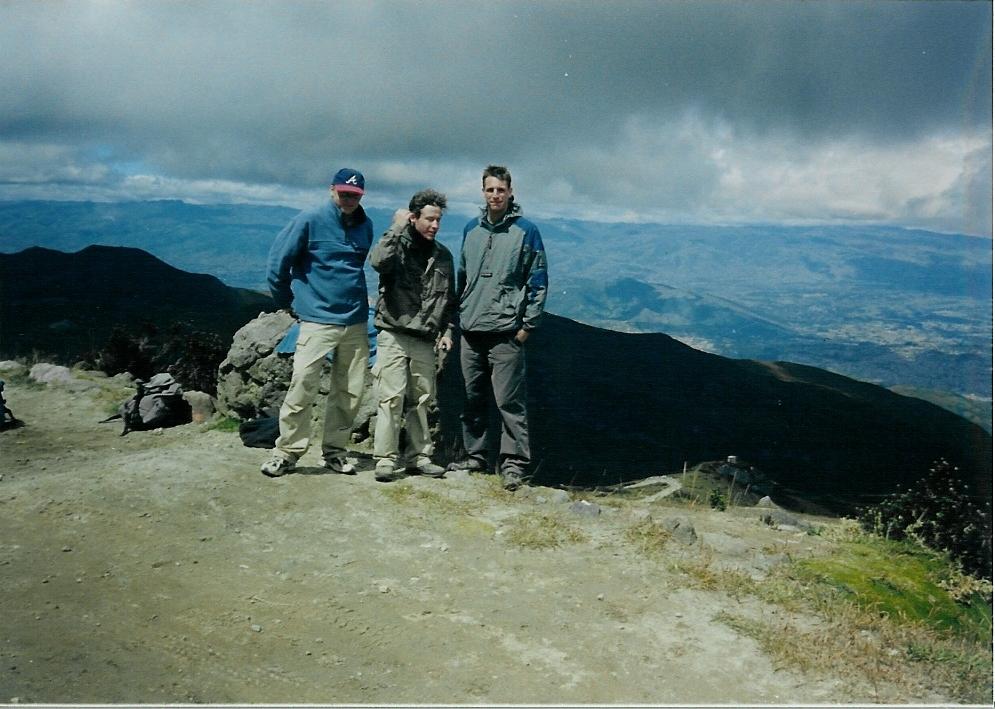
I'm heading up a volcano with these three

Almost 5000 meters here

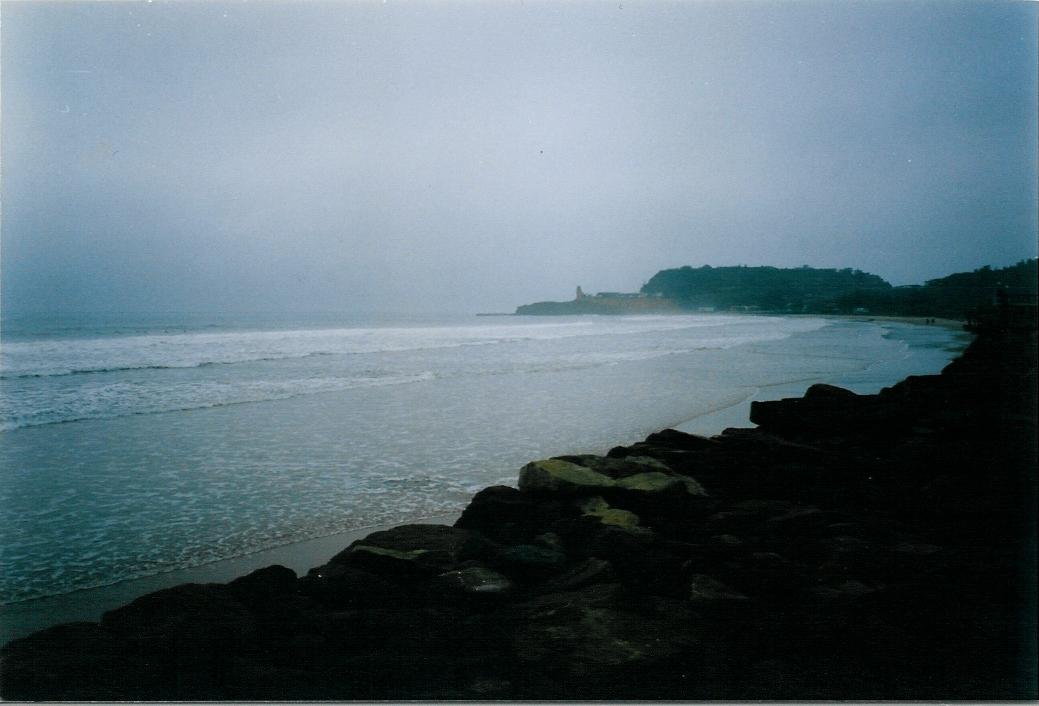
Down at the beach at Mantaneque

Nice sleeping area

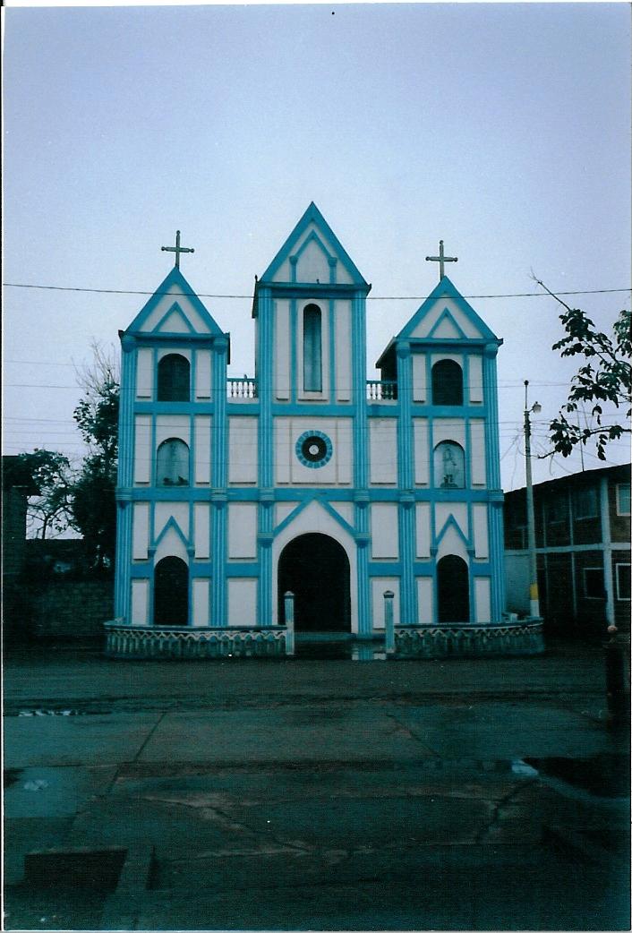
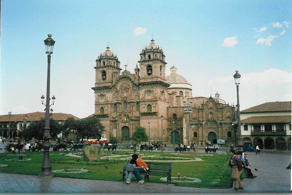
The blue church

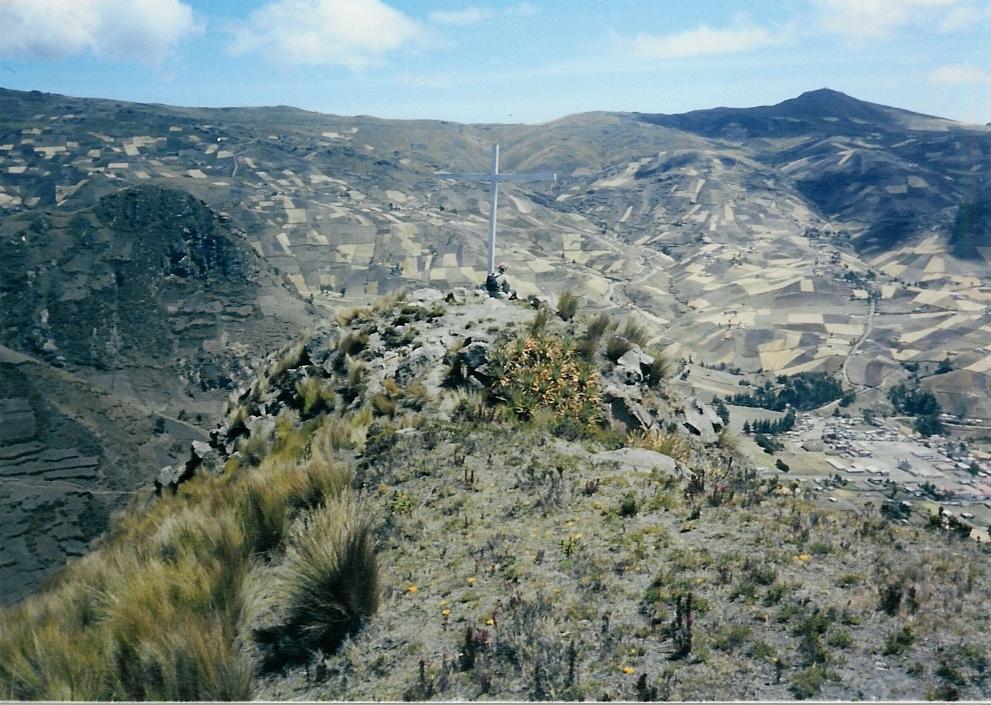
Later on in the interior at a remote village
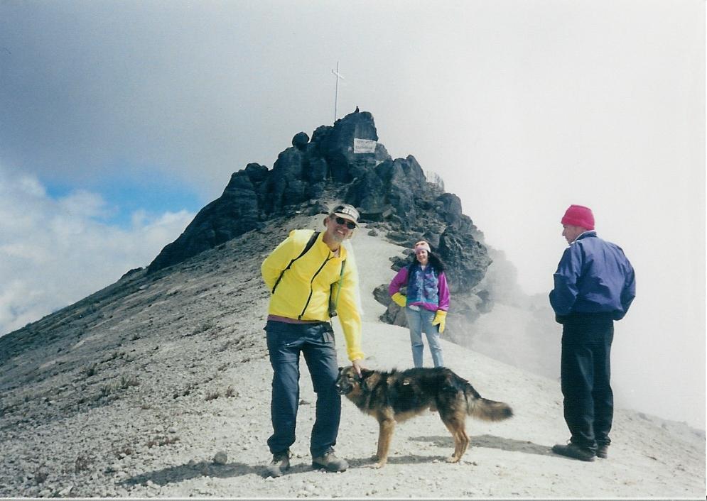
I do some scrambling with Becky

Some good views from the top


A volcano and Lake Quilatoa in the same area Yes, it is inactive

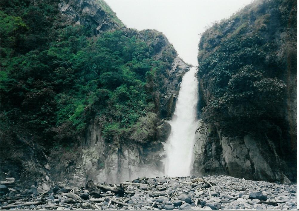
On to Banos A waterfall..

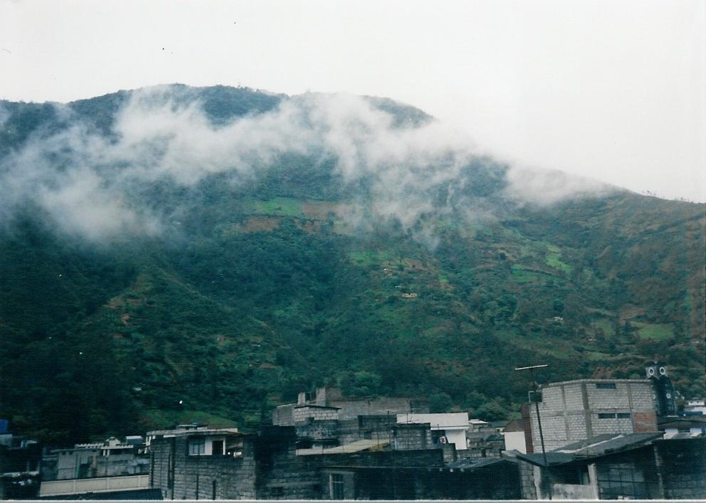
and in the clouds a real nice volcano

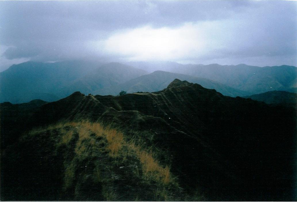
Did a solo ridge trek in Vilcabamba


This was a nice day

Don't step to the right

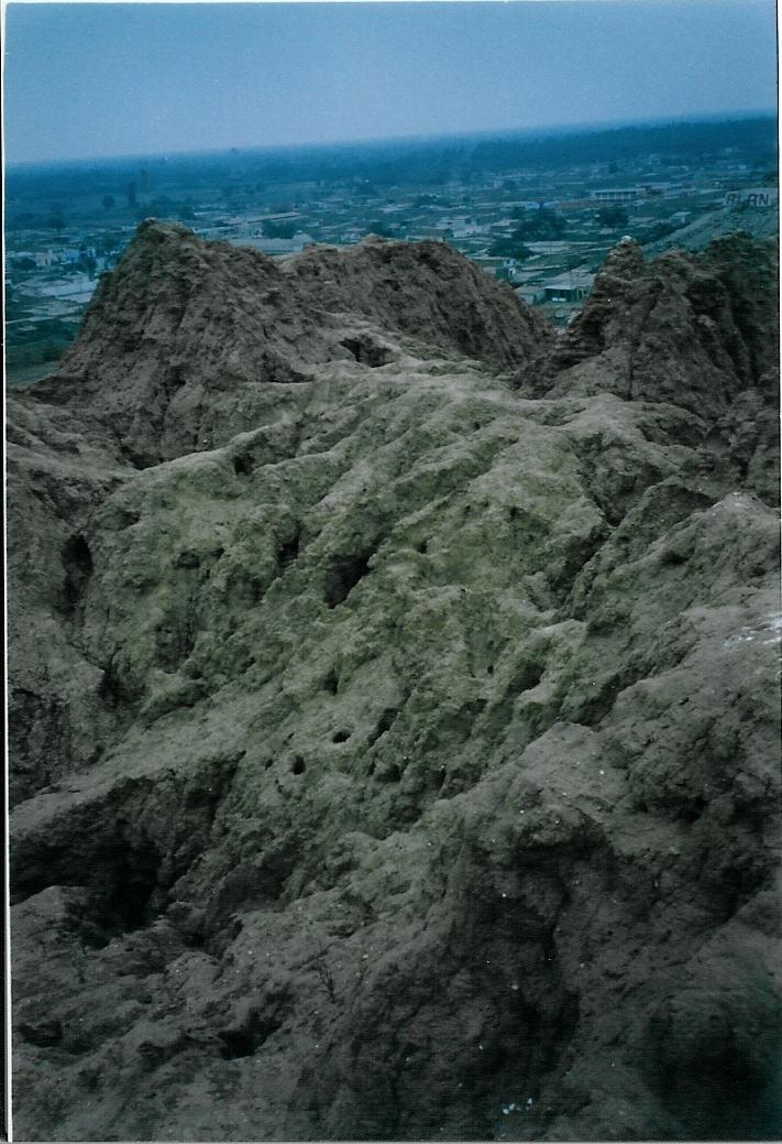
I now go to the clay pyramids in Peru

These are about 5000 yrs old

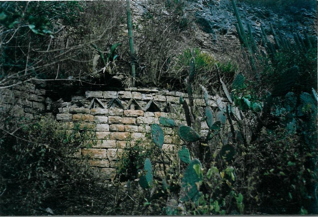
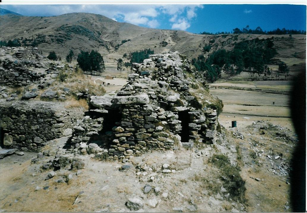
North Central Peru puts me at some little visited ruins

These are by Tingo
The locals call them the Maccro ruins I think

They were round stone homes on the side of a mountain

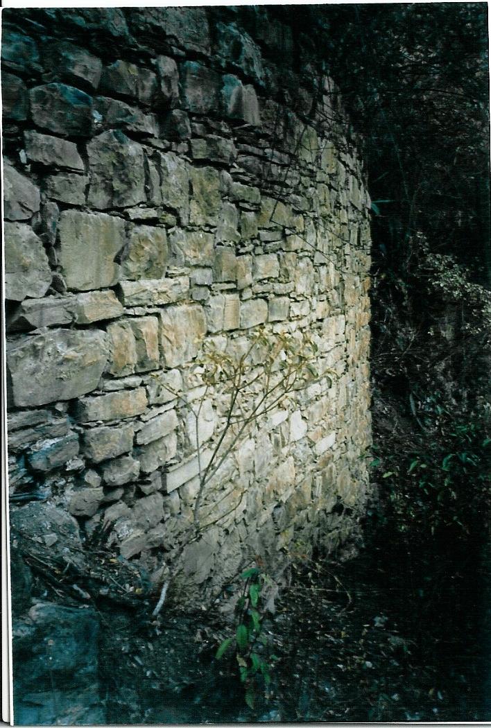
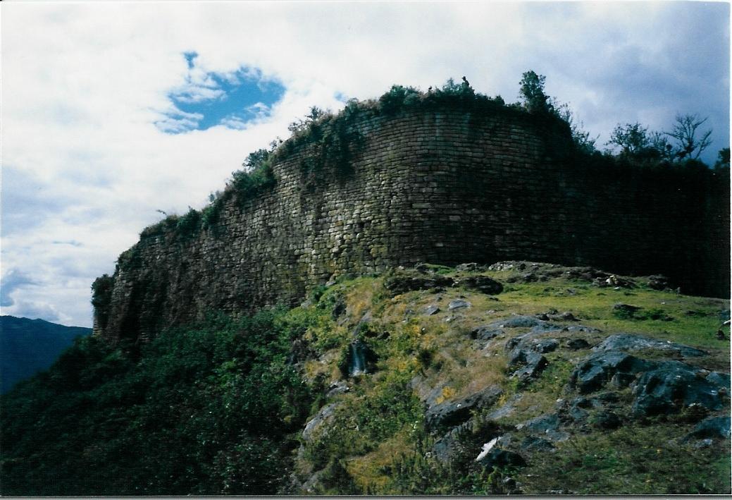
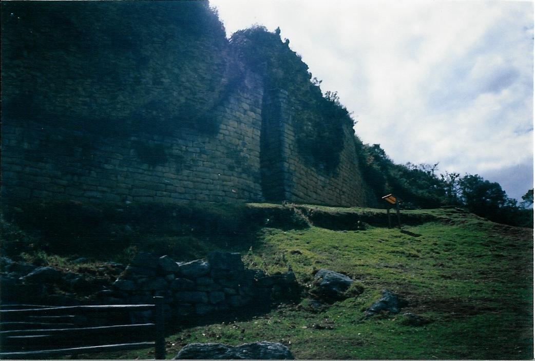
and Kulap


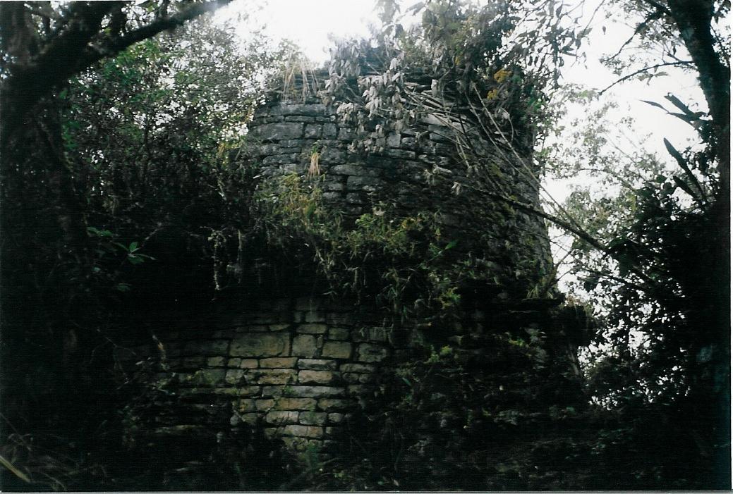
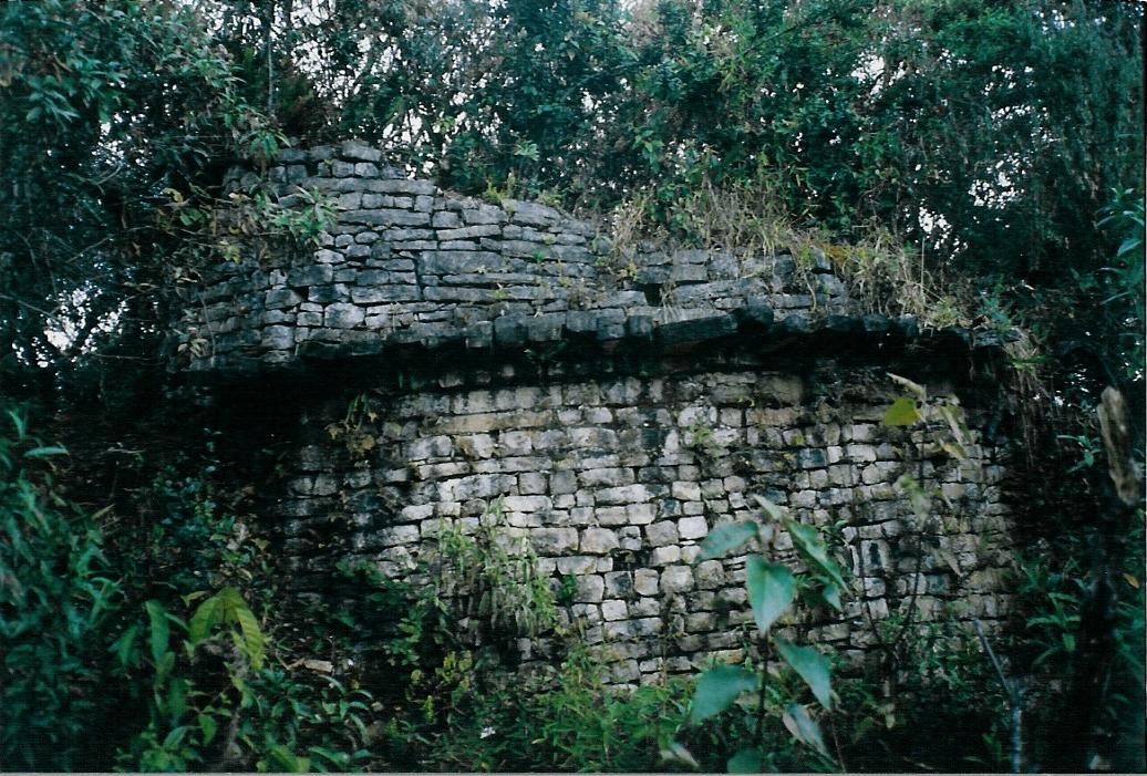
Even more remote at Leymebamba, a site called Guahuana spelling

After 4 hours of back-country, I hope this is a trail, hiking, I arrive here

They were very hard to see at first

I saw little to no evidence of people visiting the site
Safe to say not many hikers get out this way

I cross back-over the Andes
traveling in the back of a potato truck on it's way to market

The journey took over 16 hours and had about 6 other peruviens going somewhere

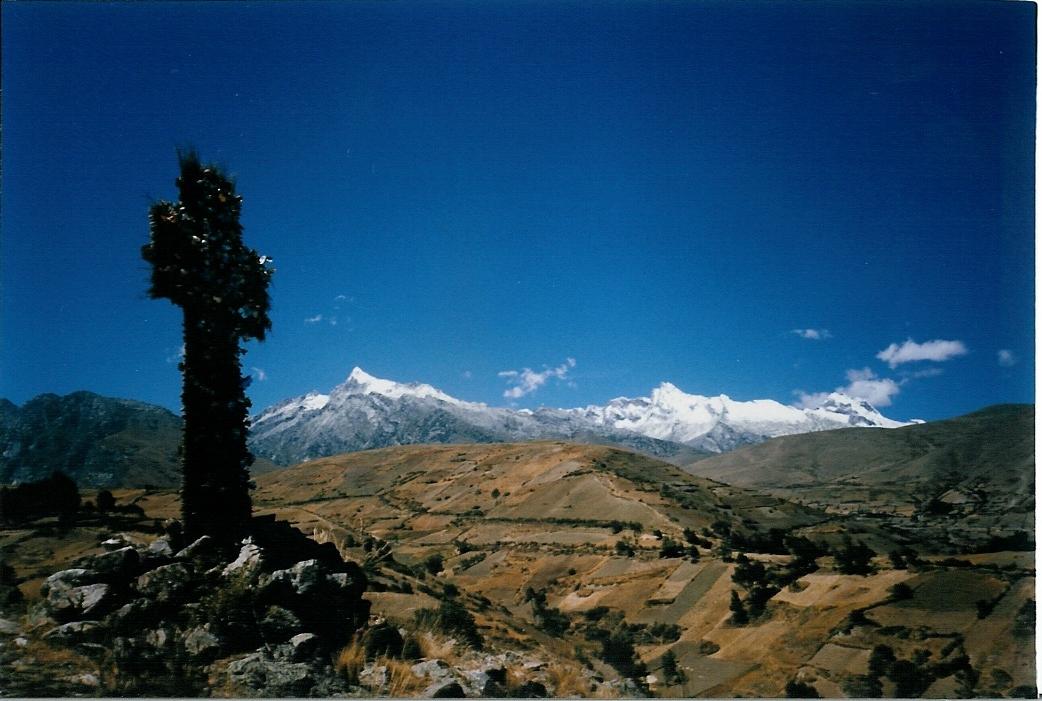
Into the Huaraz area with excellent trekking
Heading to the snow in the background led me past this cross
in the middle of nowhere, covered with pinwheels
Could only get the photo on the shade-side

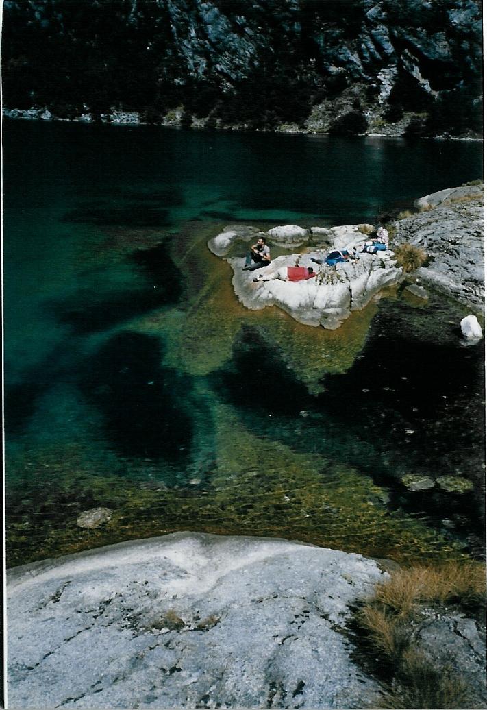
At the glacier lagoon Churup


Another day had me at Yungay
A 1972 mudslide buried the village killing all 18,000 inhabitance
Only the church steeple (center of photo) was left sticking out of the mud

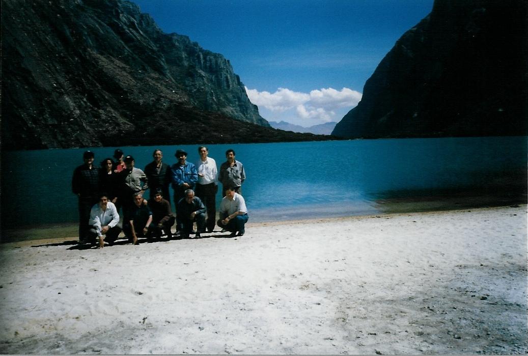
Got a lift back to lagoon Llanganuco
from the presidents of Peru's northern universities

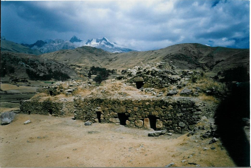
I jumped off the micro and started heading back up the valley
4 hours of hiking (mapless and clueless of course) got me to these stone structures


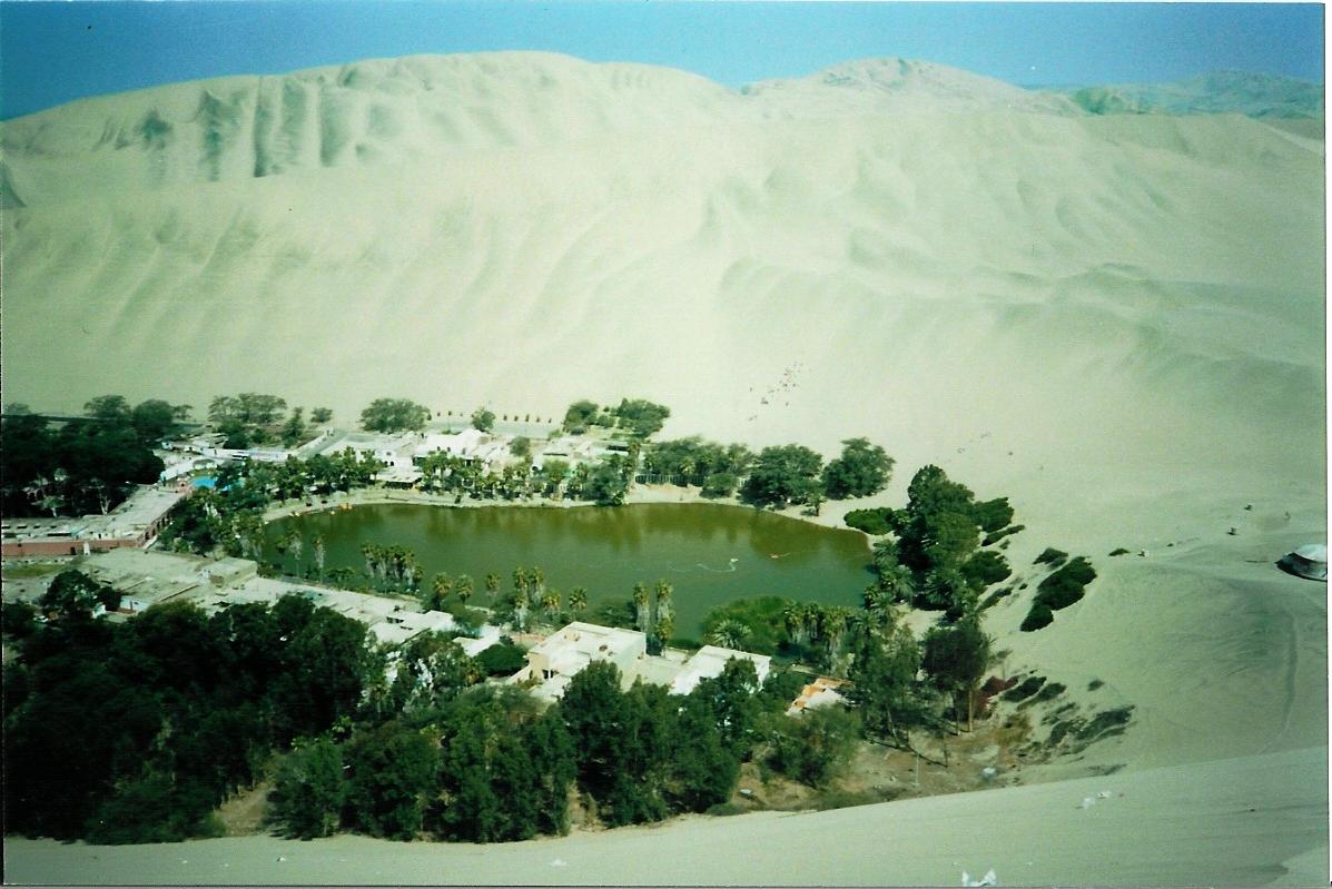
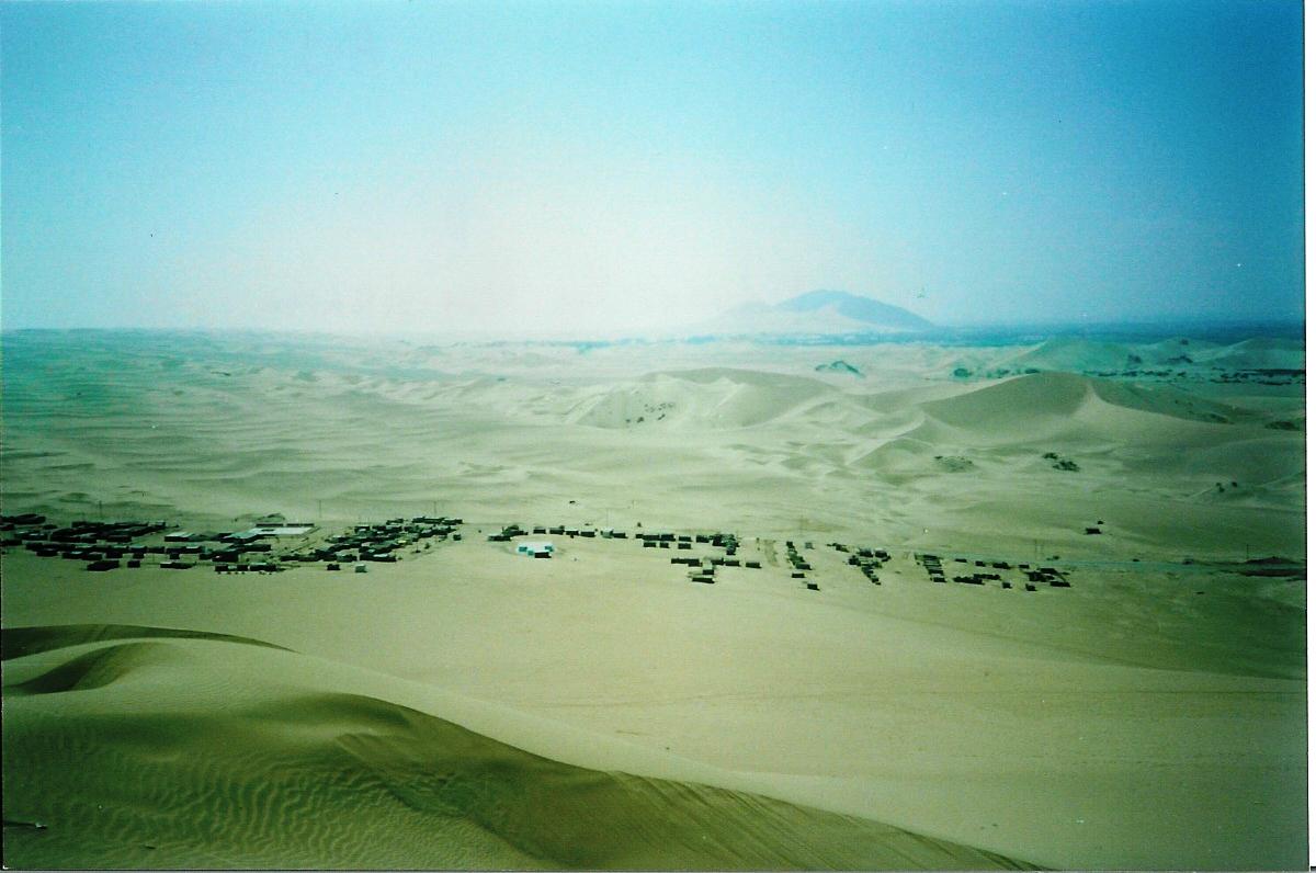
Going south takes me by Oasis Huacachina
stayed for a couple of days in Ica to check it out

It was surrounded with sand dunes like these

Missed the earthquake in Areiquipe by 2 months
Hit the church by my room pretty hard

Mr. G. Eiffel also built the worlds longest iron bridge in the 1880's
It is 420 meters long and still handles car traffic

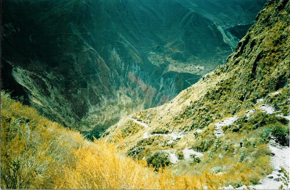
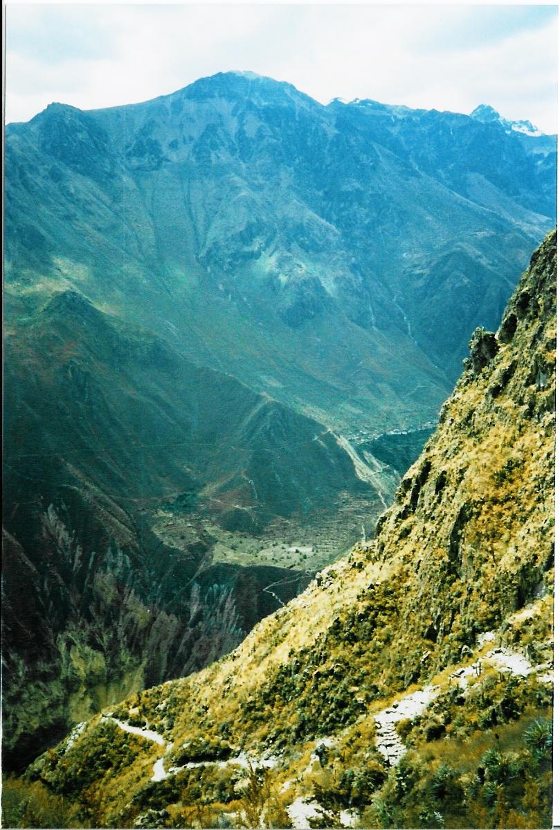
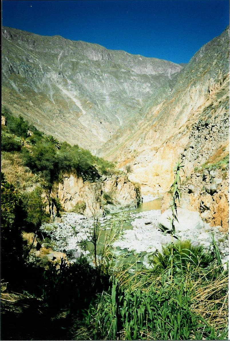
Got down in the Coca Canyon


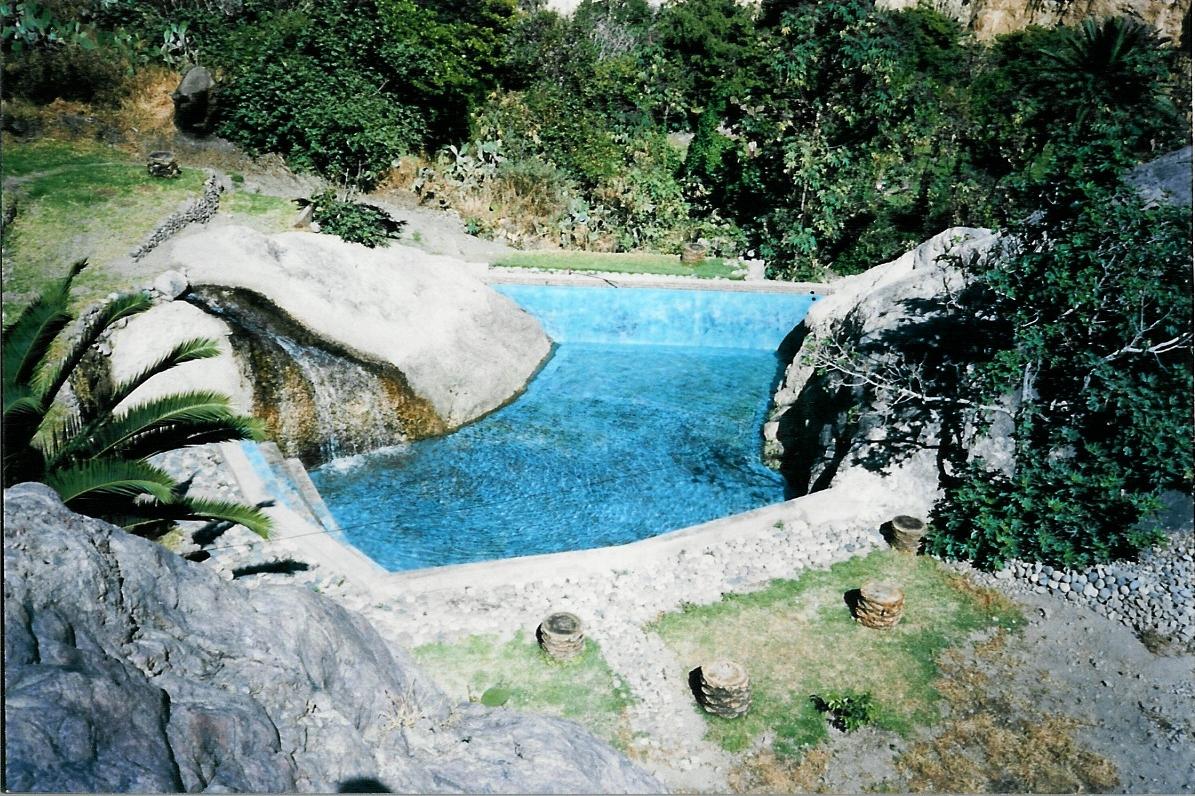
At the bottom I found this

and this, pretty nice for off the beaten path

The day of the hike out, had some condor action


This sight stilled my thoughts
had a good 30 minutes of show from them

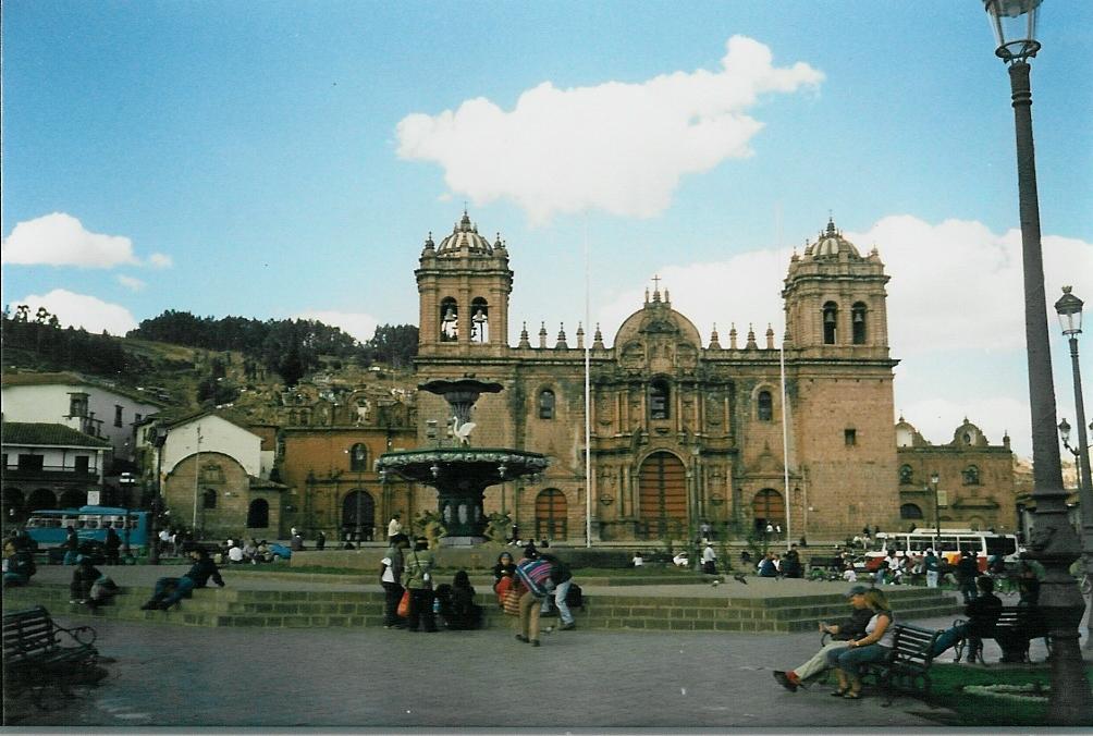
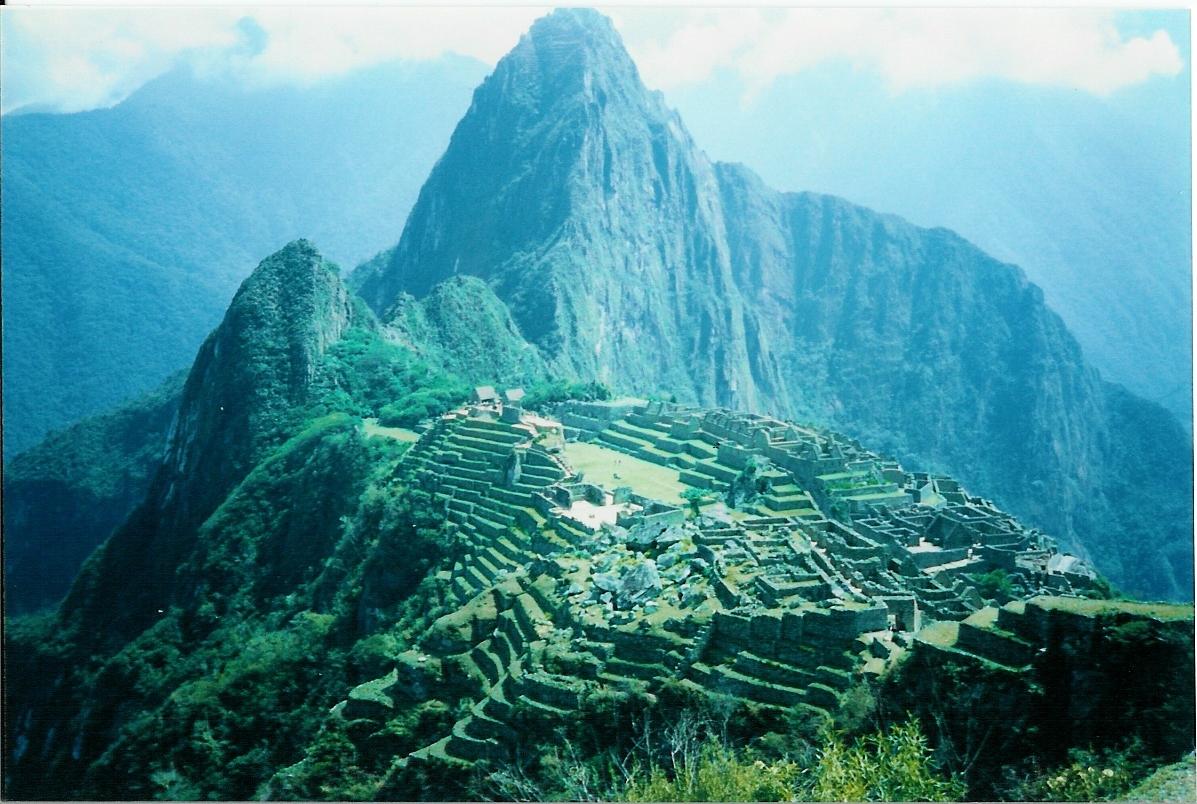
Off to Cusco and Manchu Pichu


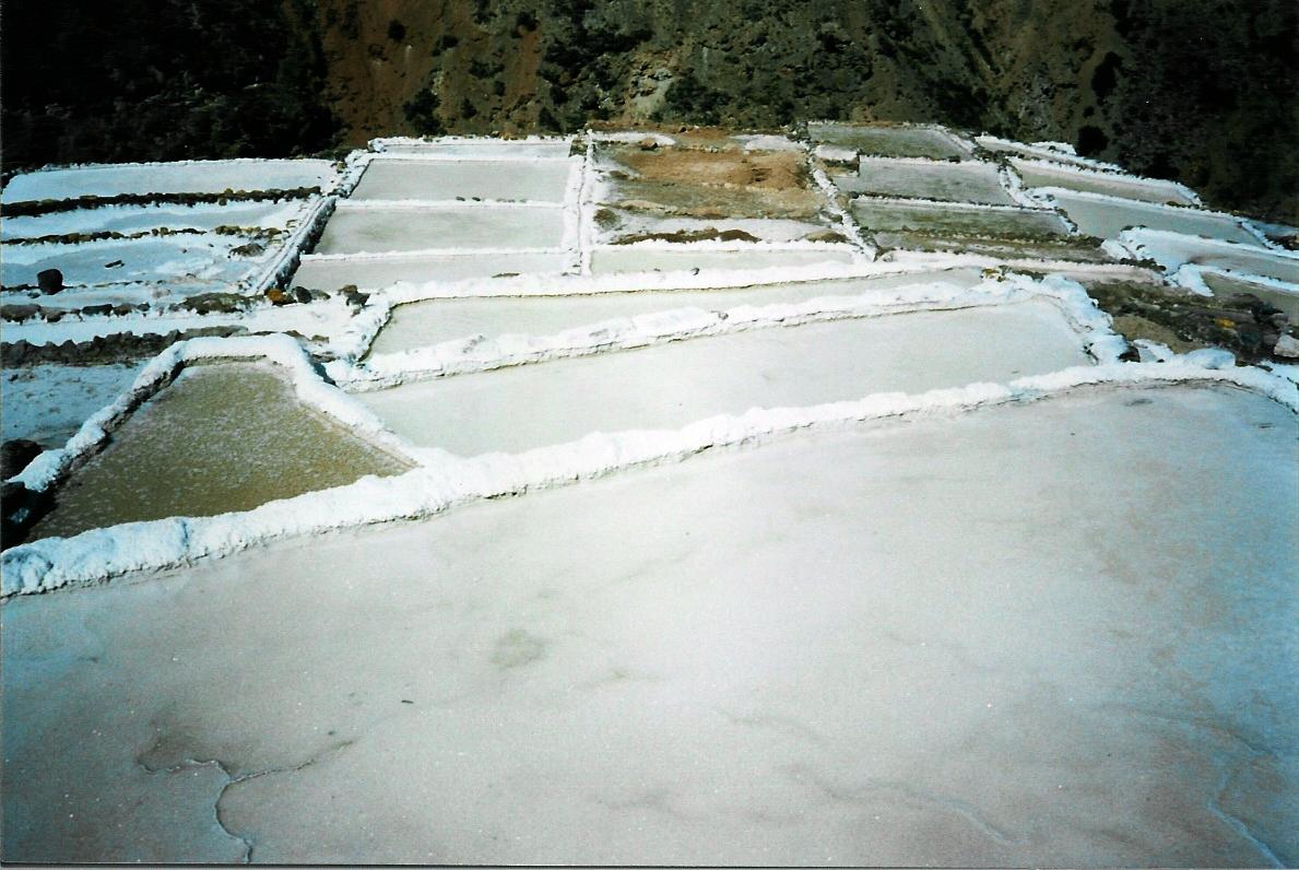
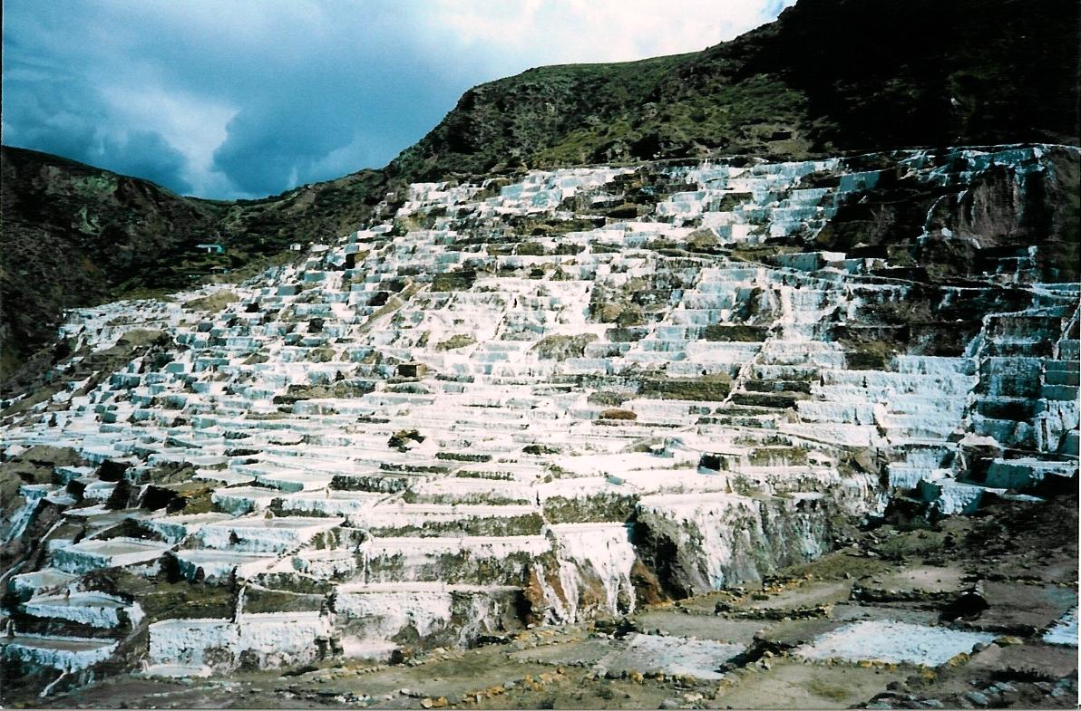
On the way to Aguas Calientes I see some salt making lagoons


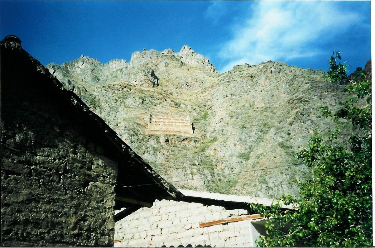
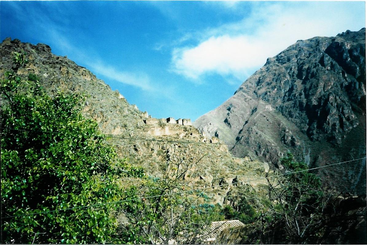
And some hillside ruins


I'd climb a mountain for a llama

Got to see this in the process of getting my llama

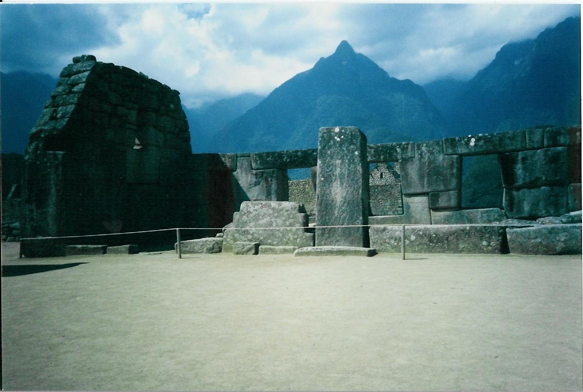
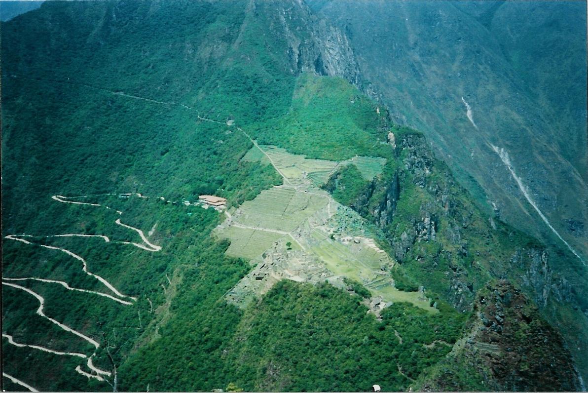
Some site shots


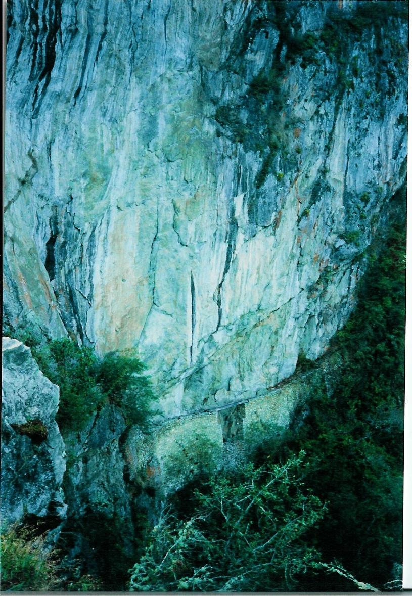
Around the backside you can see an Inca draw-bridge

Heading up the hillside on these steps

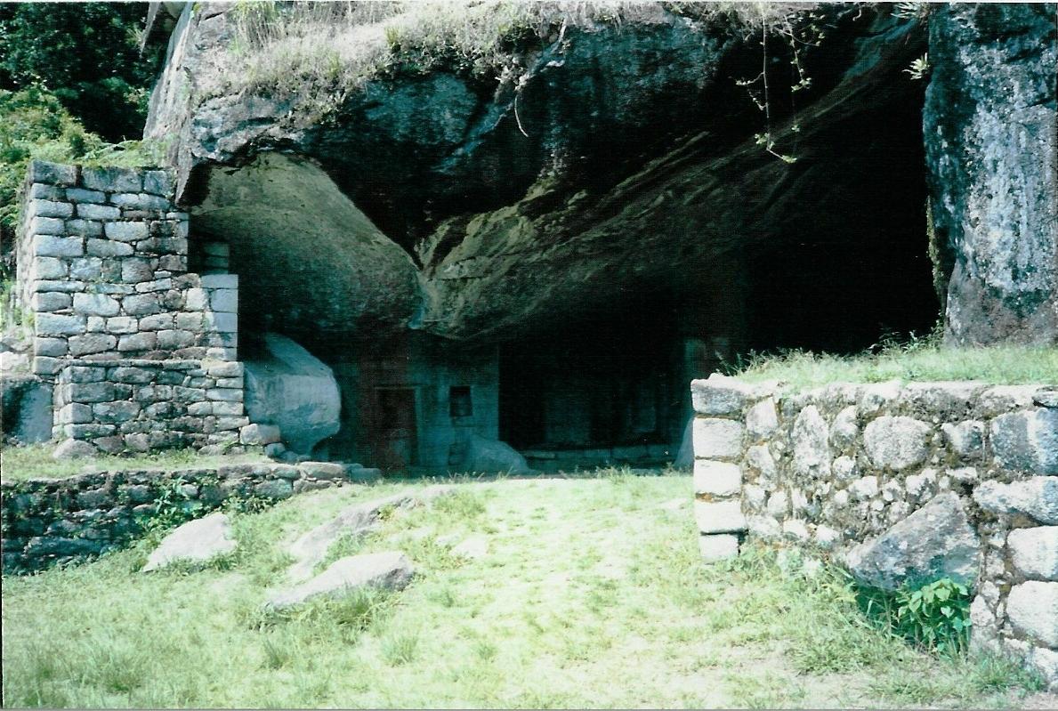
And from the top you see this

At the other and opposite end (bottom back side) you have the luna temple